

Alle Etappen auf Vélosud
Saint-Girons / Foix

Steigungen und Höhenunterschied
Anstiege: 296m
Abstiege: 309m
Tiefster Punkt: 365m
Höchster Punkt: 513m
Répartition des pentes
0.51km descente forte (< -5%)
13km descente légère (-5% à -1%)
25km plat (-1% à 2%)
7km montée (2% à 5%)
0.51km montée difficile (5% à 8%)
Straßentypen
41km (89%) de voies cyclables
5km (11%) de routes partagées
Belag
42km (92%) de surface rugueuse
4km (8%) de surface indéterminée
Nicht verpassen auf dieser Route

Cathédrale de Saint-Lizier
An ancient Gallo-Roman town, Saint-Lizier boasts two thousand years of history hovering over its flower-lined streets facing the Pyrenees. A tour of the village and its monuments takes in the upper part of the Roman ramparts, as well as the Notre-Dame-de-la-Sède cathedral, whose Renaissance paintings in the vaulting have earned it the nickname of ‘Ariège's Sistine Chapel’.

Foix
Standing on a strategic rocky outcrop overlooking the Ariège valley, this imposing castle has always been the stronghold of the Counts of Foix. In the 14th century, Gaston Fébus made it an important base for extending his domain into Béarn. Today, a departmental museum offers a modern, interactive tour of the castle.
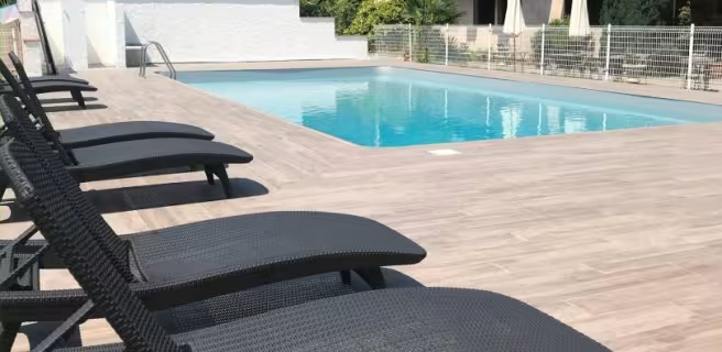
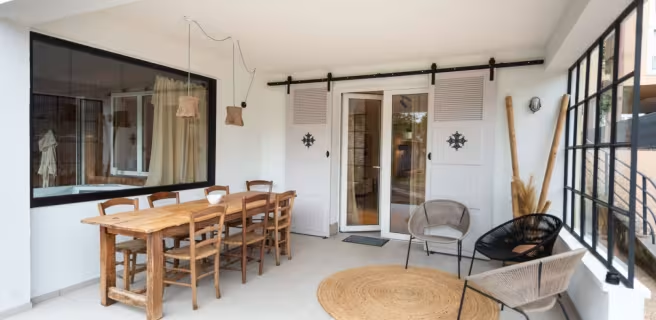
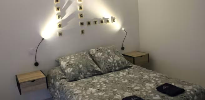
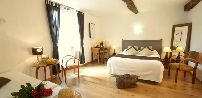
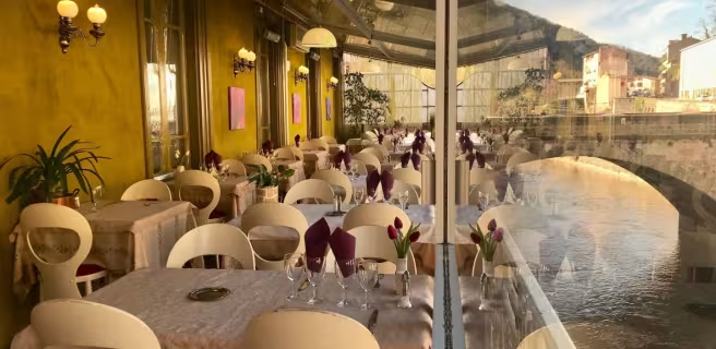
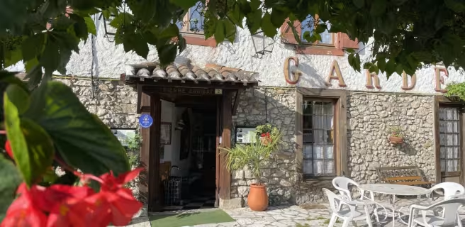
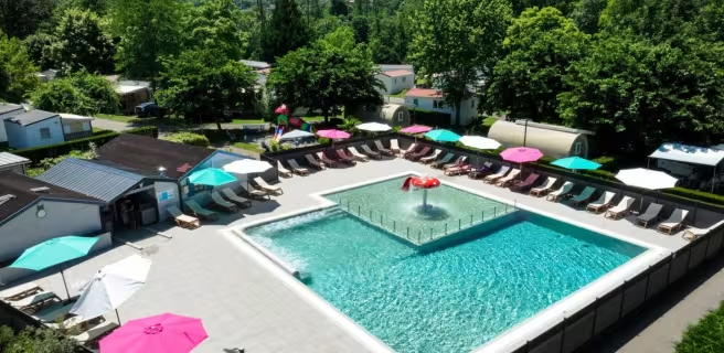
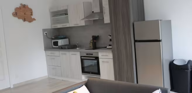
Finden Sie Ihre Unterkunft auf dieser Etappe




Züge und Transport auf der Route
- Gare SNCF de Boussens (31), sur l’axe Tarbes-Toulouse, pour un accès à Saint-Girons par la V81 (étape 08) ou avec les bus LiO (ligne 452).
- Gare SNCF de Foix, trains TER Occitanie (transport gratuit des vélos), arrêt sur la ligne Toulouse-Latour de Carol.
- Réseau bus régionaux LiO, accès à Saint-Girons par la ligne 452 depuis Boussens.
- Réseau bus régionaux LiO, la ligne 454 assure la liaison entre Saint-Girons et Foix.
https://www.lio-occitanie.fr/horaires-et-plans/