Alle Etappen auf Véloire
Iguerande / Paray-le-Monial
FVT - P.Coupy 
Tubamirum - Licence CC BY-SA 3.0 
ADT 42 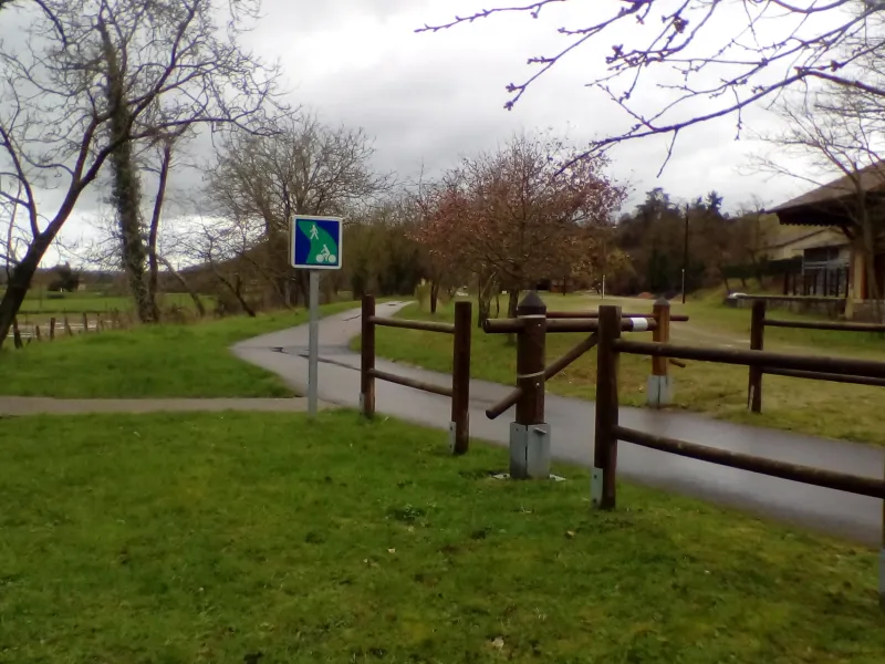
Steigungen und Höhenunterschied
Anstiege: 34m
Abstiege: 41m
Tiefster Punkt: 240m
Höchster Punkt: 265m
Straßentypen
34km (100%) Radweg
Belag
25km (73%) Glatt
9km (27%) Unbekannt
Finden Sie Ihre Unterkunft auf dieser Etappe


Züge und Transport auf der Route
- Gare SNCF de Paray-le-Monial, ligne de car TER Roanne – le Creusot-TGV : arrêts à Marcigny et Paray-le-Monial
Ligne TER Moulins - Mâcon. Connexion de Moulins et Mâcon pour Paris (Intercité) et de Mâcon à Lyon par TER