Direkt zum Inhalt
Menü
close
Radrouten
Entdecken
Tipps & Infos
Accueil Vélo
Newsletter abonnieren
instagram
facebook
DE
DE
FR
EN
NL
Anmelden
Reisetagebücher
Favoris
Menü
DE
DE
FR
EN
NL
10
etappen ·
519
km
Steigungen und Höhenunterschied
Anstiege:
5758m
Abstiege:
5835m
Tiefster Punkt:
76m
Höchster Punkt:
901m
Straßentypen
493km
(95%) Auf der Straße
27km
(5%) Radweg
Belag
16km
(3%) Glatt
504km
(97%) Unbekannt
10 genutzte Etappen
1
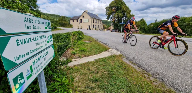
Montluçon / Chambon-sur-Voueize
49 km
3 h 15 min
Mittel / Gute Grundkondition
2
Chambon-sur-Voueize / Aubusson
49 km
3 h 16 min
Mittel / Gute Grundkondition
3
Aubusson / Royère-de-Vassivière
41 km
2 h 45 min
Anspruchsvoll
4
Royère-de-Vassivière / Bugeat
56 km
3 h 43 min
Anspruchsvoll
5
Bugeat / Clergoux
64 km
4 h 15 min
Anspruchsvoll
6
Clergoux / Beaulieu-sur-Dordogne
54 km
3 h 35 min
Mittel / Gute Grundkondition
7
Beaulieu-sur-Dordogne / Rocamadour
57 km
3 h 48 min
Mittel / Gute Grundkondition
8
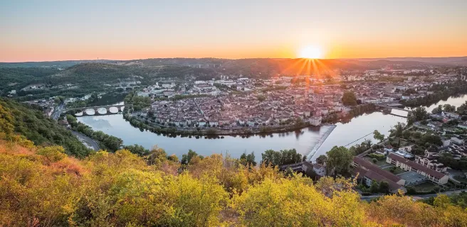
Rocamadour / Cahors
65 km
4 h 19 min
Mittel / Gute Grundkondition
9
Cahors / Lafrançaise
52 km
3 h 26 min
Mittel / Gute Grundkondition
10
Lafrançaise / Montech
33 km
1 h 17 min
Mittel / Gute Grundkondition
Afficher les étapes
Ihre Route
Als Favorit speichern
GPX-Trace herunterladen
Route anpassen
Teilen
Karte
Reisetagebuch
Accommodation
Useful information
Leasure
Restauration
Accommodation
Useful information
Leasure
Restauration
Alles ankreuzen
Alles abwählen
Campingplätze
Bed and breakfast
Hotels
Lodgings and furnished rentals
Stopover gites
Unusual accommodation
Group accommodation
Holiday residences
Holiday villages
Bicycle rentals/ repairs
Gare
Tourist offices
Picnic areas
Bereich für Dienstleistungen
Borne de recharge VAE
Points d'eau
Toilettes publiques
Canoe and kayak rental
Kulturelle und touristische Stätten
Freizeit und Aktivitäten
Bathing places
Villages with character
Markets
Tasting
Spa & Thalasso
Bars
Restaurants
Weitere Filter
Nur Accueil Vélo
Entfernung in Kilometern zur Strecke
5
10 km
50
Kartenoptionen
Standard-Kartenhintergrund
Satellitenkarte
Legende
Je débute
J'ai l'habitude
Aventure
Itinéraires connexes
Details