Direkt zum Inhalt
Menü
close
Radrouten
Entdecken
Tipps & Infos
Accueil Vélo
Newsletter abonnieren
instagram
facebook
DE
DE
FR
EN
NL
Anmelden
Reisetagebücher
Favoris
Menü
DE
DE
FR
EN
NL
12
etappen ·
392
km
Steigungen und Höhenunterschied
Anstiege:
2115m
Abstiege:
2239m
Tiefster Punkt:
0m
Höchster Punkt:
297m
Straßentypen
200km
(51%) Auf der Straße
193km
(49%) Radweg
Belag
244km
(62%) Glatt
115km
(32%) Rauh
5km
(1%) Ungepflastert
30km
(8%) Unbekannt
12 genutzte Etappen
1
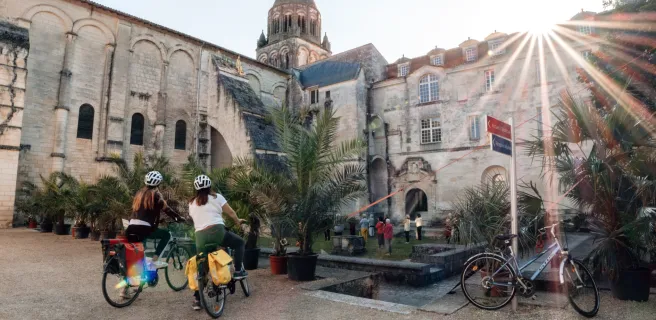
Sarlat-la-Canéda / Le Lardin-Saint-Lazare
39 km
2 h 26 min
Mittel / Gute Grundkondition
2
Le Lardin / Excideuil
47 km
3 h 25 min
Mittel / Gute Grundkondition
3
Excideuil / Thiviers
20 km
1 h 43 min
Anfänger
4
Thiviers / Nontron
28 km
2 h 06 min
Mittel / Gute Grundkondition
5
Nontron / Marthon
24 km
1 h 41 min
Mittel / Gute Grundkondition
6
Marthon / Angoulême
32 km
2 h 23 min
Anfänger
7
Angoulême / Châteauneuf-sur-Charente
30 km
2 h 31 min
Anfänger
8
Châteauneuf-sur-Charente / Cognac
34 km
3 h 26 min
Anfänger
9
Cognac / Saintes
40 km
2 h 35 min
Anfänger
10
Saintes / Saint-Savinien
27 km
1 h 46 min
Anfänger
11
Saint-Savinien / Rochefort
42 km
2 h 36 min
Anfänger
12
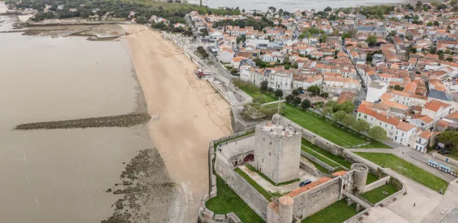
Rochefort / Ile d'Aix
31 km
2 h 02 min
Anfänger
Afficher les étapes
Ihre Route
Als Favorit speichern
GPX-Trace herunterladen
Route anpassen
Teilen
Karte
Reisetagebuch
Accommodation
Useful information
Leasure
Restauration
Accommodation
Useful information
Leasure
Restauration
Alles ankreuzen
Alles abwählen
Campingplätze
Bed and breakfast
Hotels
Lodgings and furnished rentals
Stopover gites
Unusual accommodation
Group accommodation
Holiday residences
Holiday villages
Bicycle rentals/ repairs
Gare
Tourist offices
Picnic areas
Bereich für Dienstleistungen
Borne de recharge VAE
Points d'eau
Toilettes publiques
Canoe and kayak rental
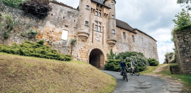
Kulturelle und touristische Stätten
Freizeit und Aktivitäten
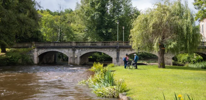
Bathing places
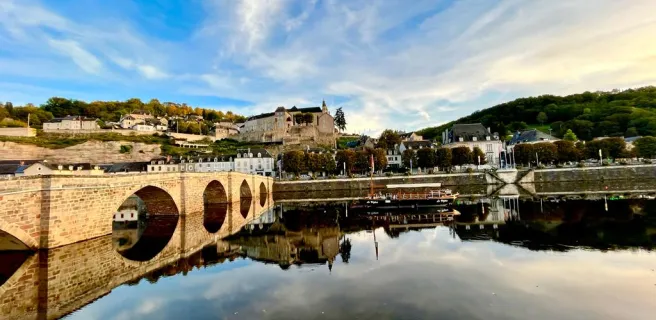
Villages with character
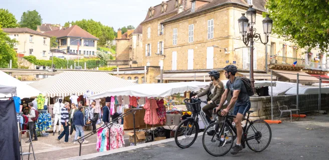
Markets
Tasting
Spa & Thalasso
Bars
Restaurants
Weitere Filter
Nur Accueil Vélo
Entfernung in Kilometern zur Strecke
5
10 km
50
Kartenoptionen
Standard-Kartenhintergrund
Satellitenkarte
Legende
Je débute
J'ai l'habitude
Aventure
Itinéraires connexes
Details