Direkt zum Inhalt
Menü
close
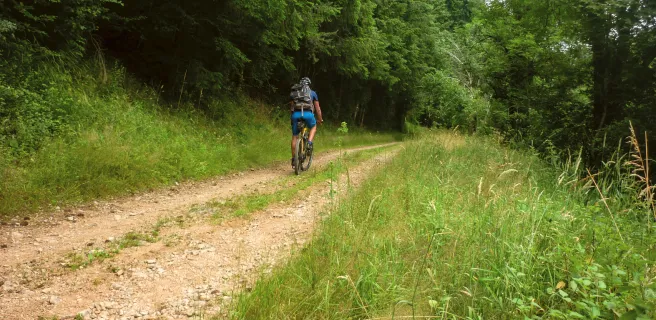
Radrouten
Entdecken
Tipps & Infos
Accueil Vélo
Newsletter abonnieren
instagram
facebook
DE
DE
FR
EN
NL
Anmelden
Reisetagebücher
Favoris
Menü
DE
DE
FR
EN
NL
12
etappen ·
226
km
Steigungen und Höhenunterschied
Anstiege:
5859m
Abstiege:
5906m
Tiefster Punkt:
143m
Höchster Punkt:
860m
12 genutzte Etappen
1
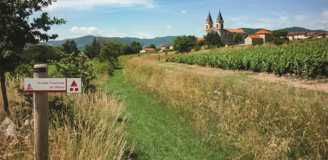
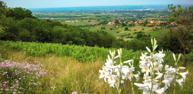
Lancié / Régnié-Durette
18 km
1 h 11 min
Mittel / Gute Grundkondition
2
Régnié-Durette / Le Perréon
17 km
1 h 09 min
Anspruchsvoll
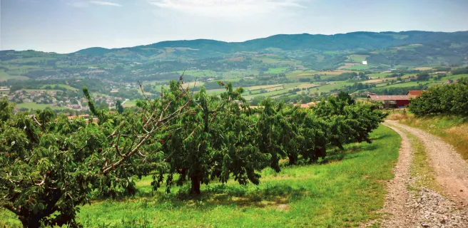
3
Le Perréon / Grandris
17 km
1 h 06 min
Anspruchsvoll
4
Grandris / Col de la Croix de l'Orme
21 km
1 h 25 min
Anspruchsvoll
5
Col de la Croix de l'Orme / Oingt
23 km
1 h 33 min
Anspruchsvoll
6
Oingt / L'Arbresle
26 km
1 h 43 min
Mittel / Gute Grundkondition
7
L'Arbresle / Le Martinet
13 km
52 min
Mittel / Gute Grundkondition
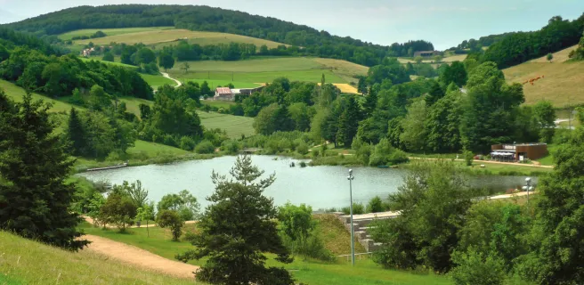
8
Le Martinet / Yzeron
15 km
1 h 00 min
Anspruchsvoll
9
Yzeron / St-André-la-Côte
15 km
1 h 00 min
Anspruchsvoll
10
St-André-la-Côte / St-Maurice-sur-Dargoire
16 km
1 h 03 min
Mittel / Gute Grundkondition
11
St-Maurice-sur-Dargoire / Croix Régis
29 km
1 h 55 min
Anspruchsvoll
12
Croix Régis / Condrieu
16 km
1 h 04 min
Mittel / Gute Grundkondition
Afficher les étapes
Ihre Route
Als Favorit speichern
GPX-Trace herunterladen
Route anpassen
Teilen
Karte
Reisetagebuch
Accommodation
Useful information
Leasure
Restauration
Accommodation
Useful information
Leasure
Restauration
Alles ankreuzen
Alles abwählen
Campingplätze
Bed and breakfast
Hotels
Lodgings and furnished rentals
Stopover gites
Unusual accommodation
Group accommodation
Holiday residences
Holiday villages
Bicycle rentals/ repairs
Gare
Tourist offices
Picnic areas
Bereich für Dienstleistungen
Borne de recharge VAE
Points d'eau
Toilettes publiques
Canoe and kayak rental
Kulturelle und touristische Stätten
Freizeit und Aktivitäten
Bathing places
Villages with character
Markets
Tasting
Spa & Thalasso
Bars
Restaurants
Weitere Filter
Nur Accueil Vélo
Entfernung in Kilometern zur Strecke
5
10 km
50
Kartenoptionen
Standard-Kartenhintergrund
Satellitenkarte
Legende
Je débute
J'ai l'habitude
Aventure
Itinéraires connexes
Details